Wales Part 1: A week in Snowdonia
Awkward encounters with the landscape, why you shouldn't hike without a good map, and the hardest mountain to climb.
We just got back from Wales.
I meant to publish a different piece entirely today, not at all about my trip to Wales.
But, the truth is, I wanted to write about a mountain in Wales.
While I appreciate that climbing mountains in Wales is a fairly niche interest area, I expect the theme of being uncomfortably (dangerously?) ill-equipped for a challenging situation may resonate more widely. If not, forgive this brief excursion. I’ll get back to more typical fare shortly.
There is a mountain in Wales that just calls out to be climbed — and I’m not talking about Snowdon. If you’ve ever driven through Snowdonia, you’ve probably seen it. It’s a big bristly mass of spiky rock above Ogwen Lake and it’s called Tryfan.
The name means “three rocks” in Welsh because, well, I’m not sure why.1 There are a hell of a lot more than three rocks on it. From the road, it looks to be entirely rock, with very little grass or heather or green on it at all.
“The top is stacked with jumbled slabs of volcanic rock where ice and weather have prised apart the solid rock until the slivers look like dominoes scattered by an irritable giant. The scenery here is as wild as anything in the Highlands. … The bones of the landscape project in jagged profusion from the carcasses of these mountains. Volcanic rocks are slow to weather. The walk from Tryfan [is] one of the most exposed ridges in Britain [where] lava and ash thrown from volcanic centres on occasion erupted violently into the air.”2
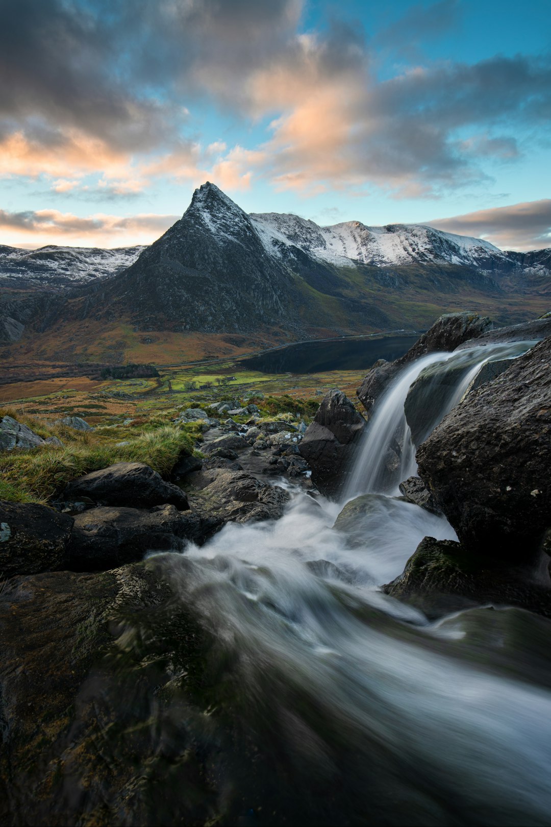
Here she is:
She’s a beast and the North Ridge — that spine that rises straight from the road — is the beastiest bit of it. If you’re into climbing, it screams to be climbed.
We were talking about it in the car on the way up. We were both keen, but my enthusiasm was somewhat caveated.
Now, I’ve already mentioned that Joel is a *bit* younger than me and, even under normal circumstances, has more energy than a sugared-up cocker spaniel. When it came to the North Ridge, he was ready to climb Tryfan. Today, right now, this very minute.
I was more cautious; the wind was up and squally, rain was forecast. We didn’t know the route, we didn’t have the topo3 and there’s no phone signal on Tryfan.
When I blithely told the guy in the Cotswolds shop in Betwys-y-Coed that we were off to climb the North Ridge of Tryfan he told us he’s part of the mountain rescue team and they get called out all the time for people who take wrong turns on the North Ridge and end up in yawning gullies that peter off to airy cliff edges.
Hahaha, I hope you don’t have to come rescue us! Hahaha.
Yes. I’d be very unimpressed.
Gulp.
I become even more cautious about climbing Tryfan.
Day by day, the week ticked by and still we hadn’t done Tryfan.
Here’s what the week looked like.
Day 1 — Arrived and went right up manageable little Moel Siabod without stopping at the Air BnB. Three hours car-to-car, back just as the sun set. Clear views from the top across to Snowdon, Tryfan and most of the Welsh 3000s. Our legs were fresh and nubile as the lambs we passed on the way up. 8/10
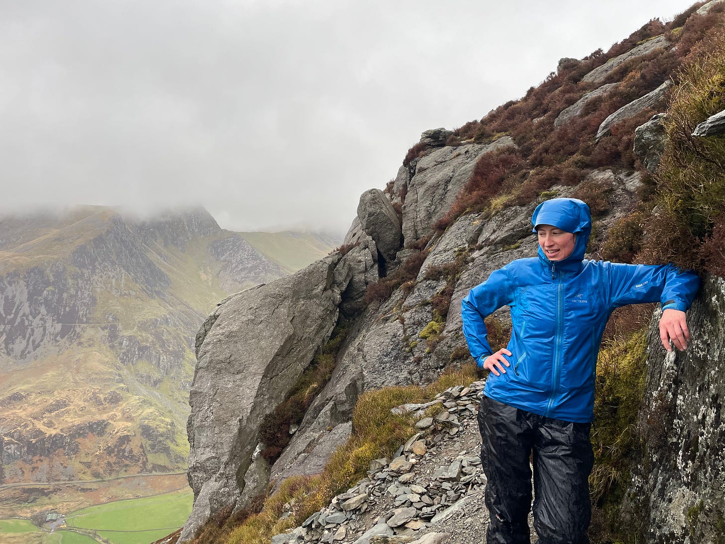
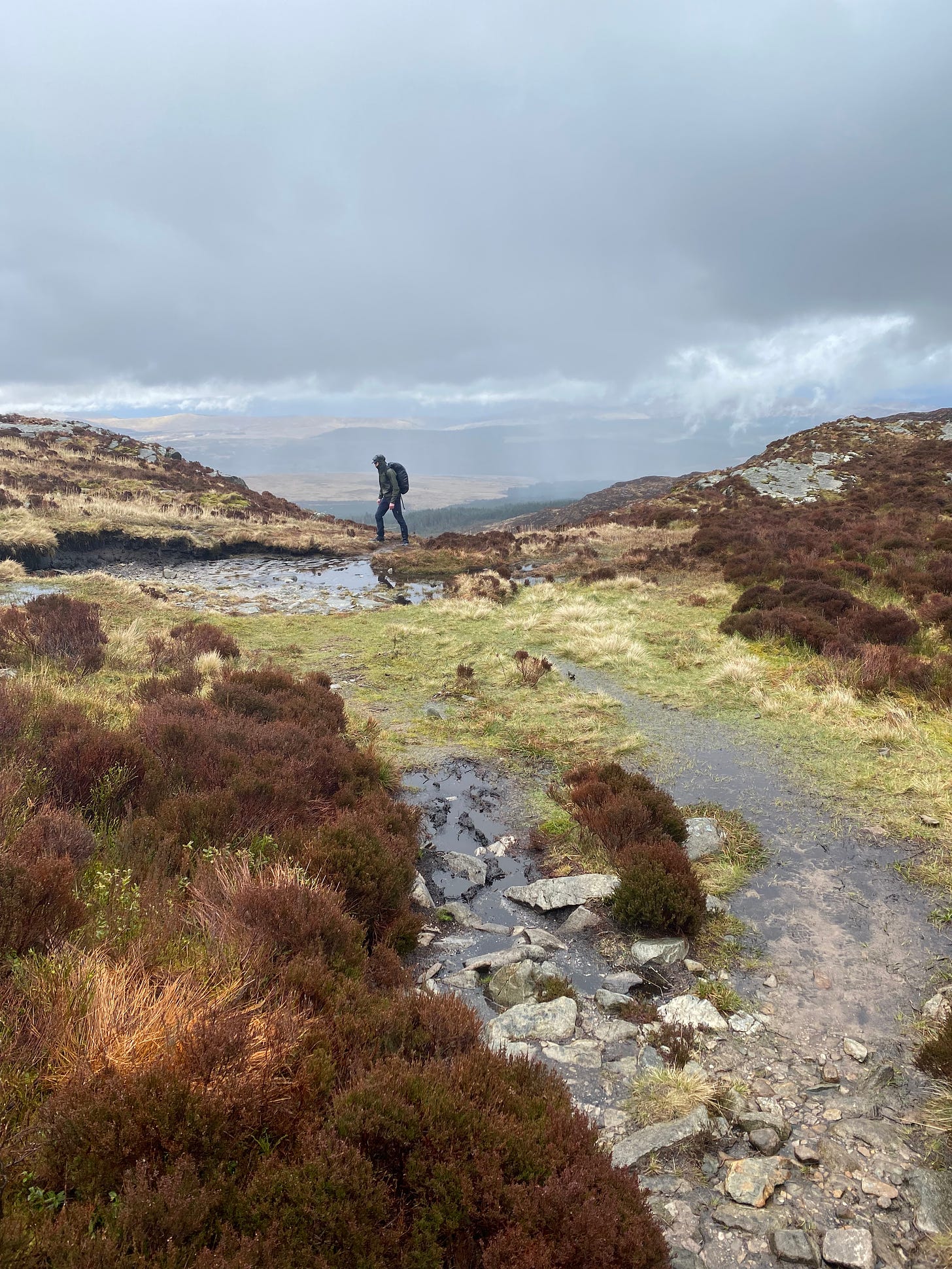
Day 2 — As expected, horrendous weather blew in. Never mind, we were here to climb some mountains. We strapped on gaiters and waterproofs and aimed for Pen Yr Ole Wen, the seventh highest peak in Wales. No navigation, no signal and we immediately lost the path and spent an hour and a half tramping around a boggy field crossing and re-crossing a churning river before eventually finding the path up to the base of the trail. I learned later that the route we took is called Porcupine Ridge and allow me to share that it is fucking spiky and so not inappropriately named. The wind was gusting and we were on hands and knees at one point. I had a meltdown just below the summit at a cleft in the rocks that felt precarious in the wind but really wasn’t. Eventually we reached the summit plateau and descended just as slowly as we came up, getting back to the car at about 10pm. 2/10
Day 3 — Pouring rain. We set our sights lower — on Moel Hebog, a poetic name that means “the hill of the hawk” and a popular climb (usually, but not today). Today, we seemed to be the only people in Wales who had the deranged notion to climb a mountain in this weather. Cue another hour and a half in the boggy fields before finding the trail up. Feet wet to the ankles even through Goretex and gaiters, we agreed it was time to purchase a Garmin. 1/10
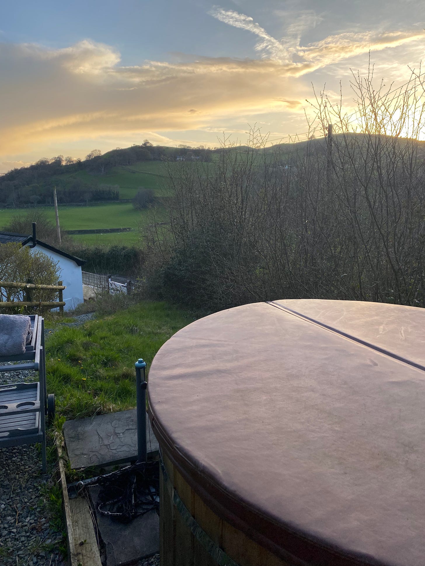
Day 4 — Rest day. Waited for our Garmin to arrive. Took a flat walk from Betwys-y-Coed to Swallow Falls, the longest continuous waterfall in Wales, and back. Joel built a fire for the outdoor hot tub at our Air BnB (fancy!) and we waited three hours for it to be warm enough to get in. He beat me at chess while we waited (I managed to lose despite pulling off a stunning move that saw his Queen and two knights taken). As we (finally) emerged from the house in nought but our towels to dart to the tub, Joel imagined for a moment what it would be like if the door slammed and we realised we had no keys. We checked four times to make sure we had the keys and so did not lock ourselves out of the Air BnB in the nip. 6/10
Day 5 — Climbed Cadair Idris. Bit of a cheat as we had done it before but we went fast and light and did the Minfordd path up to the summit and back in under three hours, which is pretty good going. This was intentional so we could be sure we made it back in good time to Betwys-y-Coed to pick up our new **Garmin** before Cotswolds closed. First glimpse of sun all week up at the top of Cadair Idris, with views for days. 7/10
Day 6 — Armed with the Garmin, the world was our oyster. We set out for the remote Rhinogs, which I had a hankering to explore, having heard they were (a) very ancient and beautiful and (b) totally unpeopled, compared to the other busy bits of Snowdonia. In the southern part of Snowdonia, Rhinog Fawr (big Rhinog) was our goal. It’s in the middle of the Harlech Dome, which is this great big lump of very ancient Cambrian rock and it feels old indeed.
“Slice the top off an onion and you will see the deepest layers in the centre … this is a plan of the structure of the Harlech Dome. The oldest rocks are in the middle and these are tough grits. Such beds weather into benches, or natural terraces, each with a small craggy scarp. The terraces are arranged into natural amphitheatres constructed on a gargantuan scale. Tier after tier rise up the sides of Rhinog Fawr, the mountain at the heart of [Harlech] Dome.”4
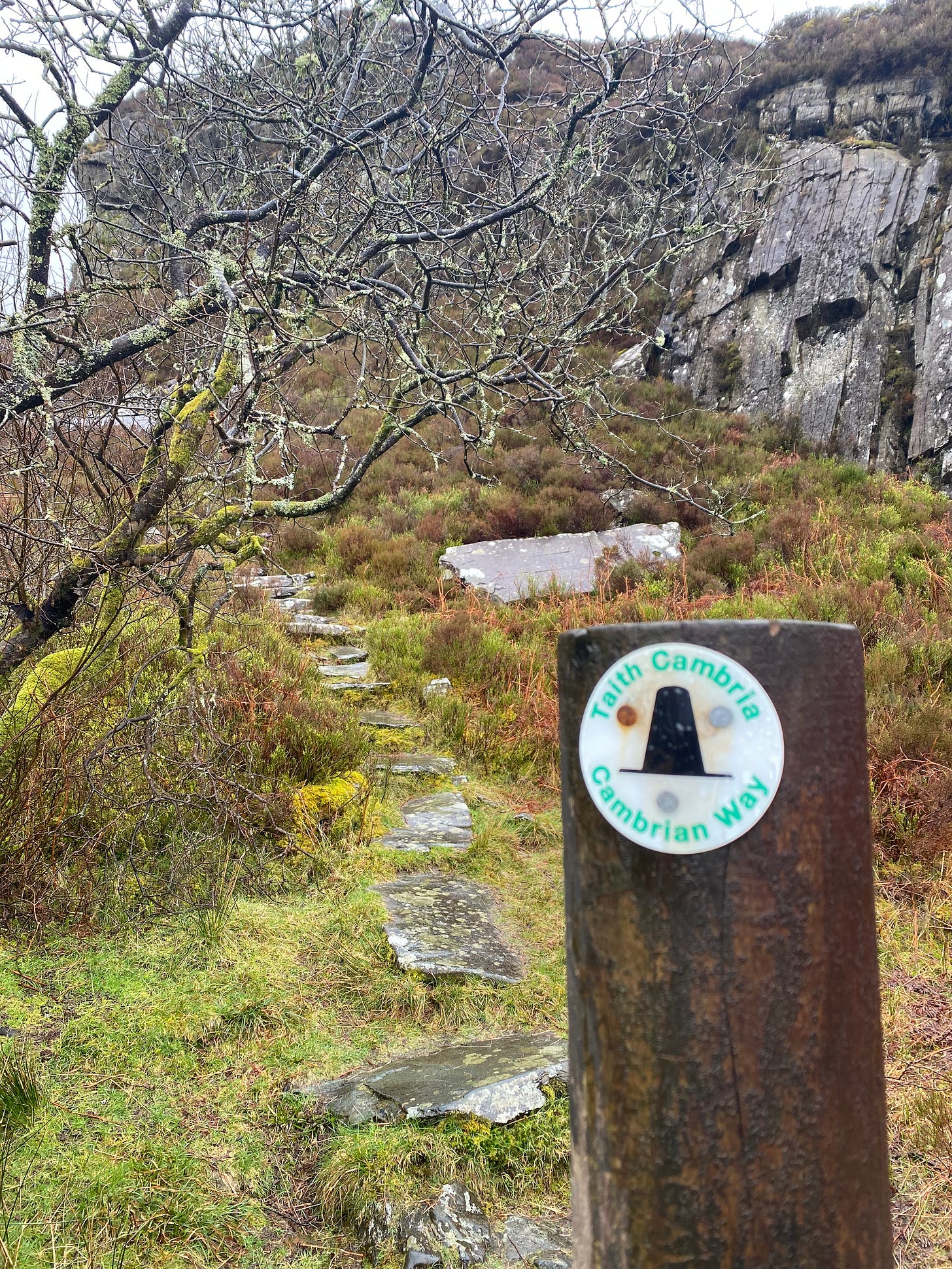
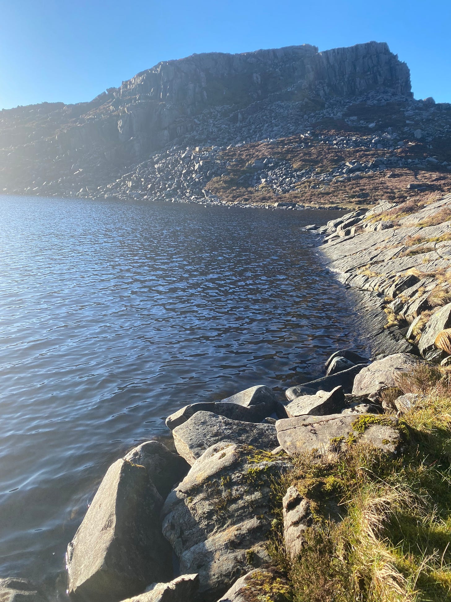
The trail starts on a packhorse route of soft worn slates called the Roman Steps (which may not be Roman but which are certainly medieval, if not earlier) before splitting off sharply to reach a lake and then up a steep gully for the summit. Sun split the clouds just as we reached the summit and we were warm enough on the descent to jump naked into the lake, with not a soul about for miles. 9/10
Day 7 — Our last day in Snowdonia. Best weather of the week, it dawned bright, sunny and very calm, a sort of miracle for North Wales in April.
Joel was positively itching for Tryfan. Would this be the day?
I remained cautious; my knee was giving me grief (I’m so old) and there was a problem with the Garmin, which is this: the Garmin comes only with a fairly inadequate basic built-in map. If you want, you know, trails and topographical details (which it turns out we did), you’re out of luck. You need to buy the topo map separately and put it on an SD card and insert that and… well, tech details.
I didn’t know the tech ins and outs of the Garmin but I was very resistant to climbing the North Ridge of Tryfan without satellite positioning on a reliable topographical map.
Joel spent hours trying to upload the right topo map to the Garmin to no avail. Frustration was high, quiet bickering was (forgive me) peaking. We were on the verge of sacking it off to go climb something else — but, just as decision time loomed, Joel realised we could download an e-copy of our old paper OS map.
And, lo, suddenly we had our satellite location on a topo map and could see our trail for the North Ridge.
It was time.
Advice for climbing Tryfan: get there early on a sunny Saturday. It took us twenty-five minutes to find somewhere to ditch the car (and it was in fact in a ditch).
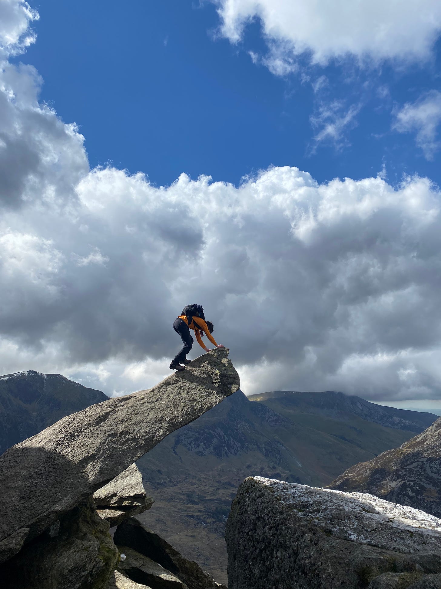
More advice: come ready to climb. It’s not an easy climb. It starts steep, precisely as it means to go on, for about four hours. We skirted a large buttress and started zig-zagging up. Every four minutes or so, we stopped, checked where we were on the topo — and adjusted and re-adjusted our route.
I may not remember the route precisely because Tryfan’s North Ridge takes a lot of in-the-moment concentration and a hefty serving of balls.
At one point, I remember Joel saying to me just think how many calculations our brain is making per second. Computing estimates of physics; very good, very accurate estimates of physics. How a foot will turn. How much pressure in a knee, when and how much to let a knee give to set yourself up for the next step. We contort our bodies to optimise the centre of gravity. We scan all the possible footfalls and choose a path. The angle, the toe, the heel, precisely how we’re going to use a foot. Sometimes two steps go together like a crotchet beat. And it all happens at the rate of several steps per second, two, maybe four.
Climbing Tryfan is a symphony of footfalls and handholds.
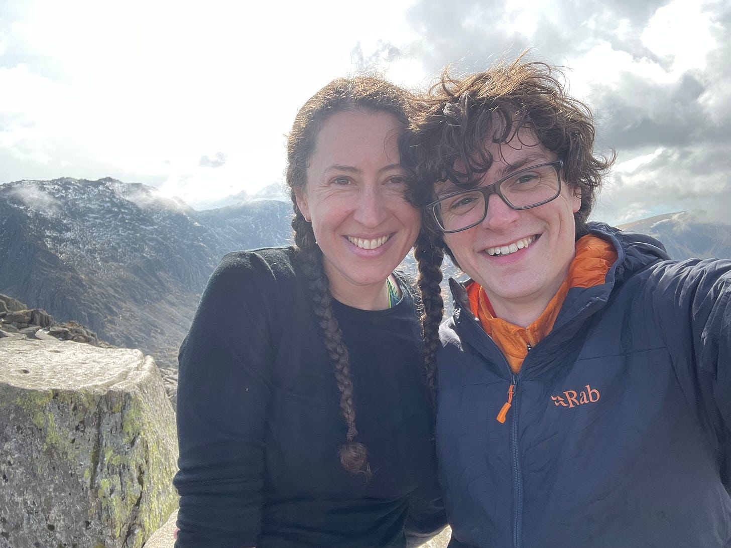
Now to be very clear, I’m a rock climber of decently respectable pedigree. I lived in the Sierra Nevadas for a few years and I’ve climbed rocks in Thailand, Yosemite, Italy and France. This climb was, in a spot or two, definitely pushing the limits of what felt comfortable to me without a rope. If you’re not already a climber I do not recommend the North Ridge. There are other easier routes to the summit and the Heather Path up to the South Ridge seems to be a popular option.
But, let me tell you, topping out onto a carpet of quartz at the top of the North Ridge of Tryfan, with the summit bristling just beyond, was unforgettable. 10/10
We even managed to get the car out of the ditch without undue effort. Winning.
Post facto editorial: I have recently learned that in fact it does not mean three rocks at all. It means “very pointy”, which I would say is pretty much spot-fucking-on.
R. Fortey, Hidden Landscapes, 2010, p. 81
The topographical map, showing elevation and contour lines. Fairly indispensable when you’re on a mountain prone to cliffing out at the most inopportune moment.
R. Fortey, p. 76.





Stunning words, incredible pictures - I AM SOOOOO INSPIRED!!!!! Jill, Joel, you are awesome, awesome people - what a fabulous adventure! Have hit the 'save' button so I can read it every day when I finally grind my expedition head into gear. EPIC!
(I hike with map, compass, OSMaps app.... and the emergency services - both personal (Jim) and national (999) on speed dial. I still find it IMPOSSIBLE not to get lost.)
Wow, great pictures! Are you familiar with the 2007 film, 'Into the Wild'? I wrote about it in 2020 https://worldaccordingtome.blog/2020/08/30/going-deeper-into-the-wild-2/